Our Mission
To work as a community for clean and healthy lakes, ponds, and streams in our watershed.
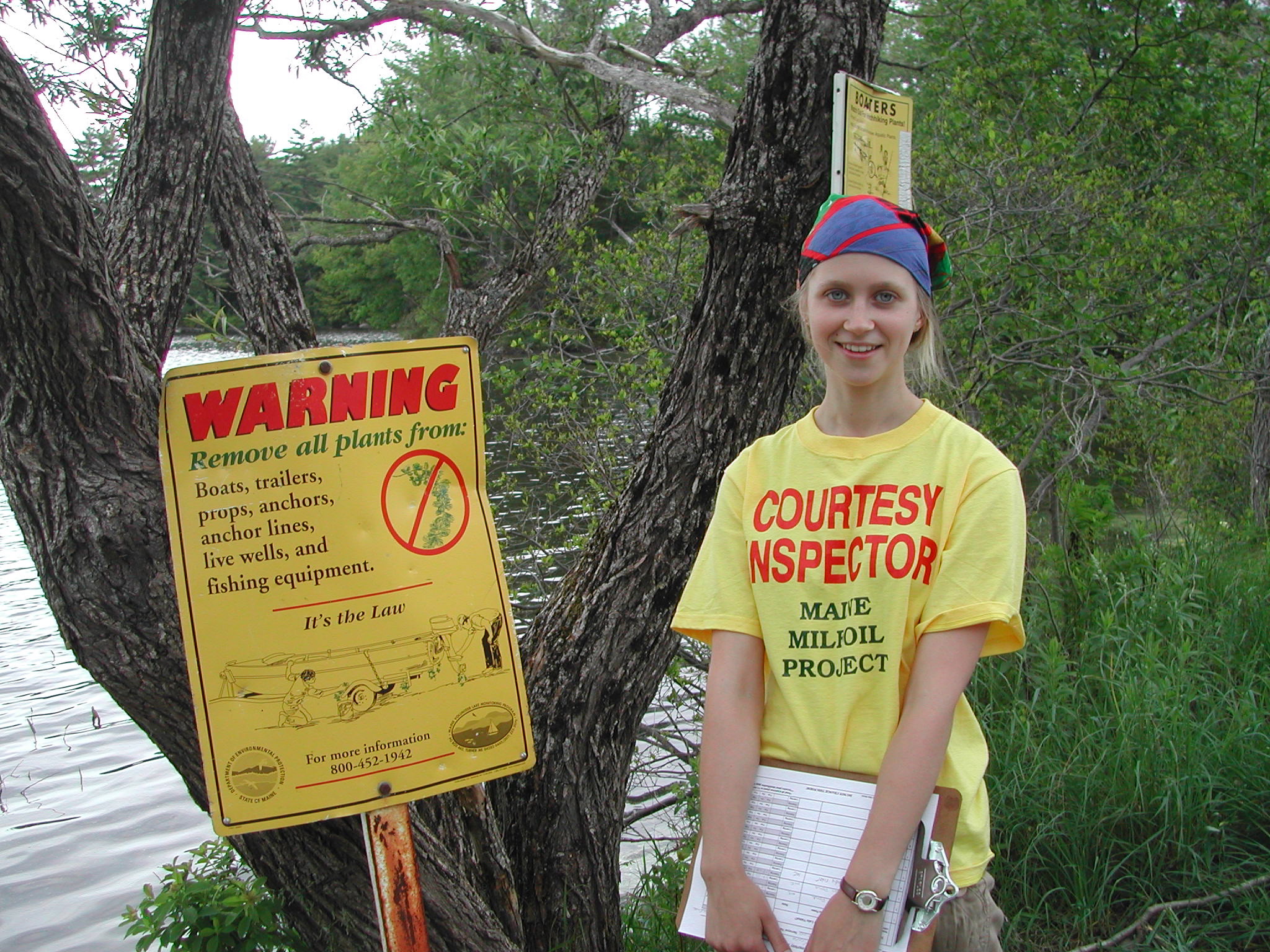
The 30 Mile River Watershed Association is a non-profit, public-private collaboration of seven rural towns, nine lake associations and two land trusts. We help the region’s communities respond to threats from development and invasive species with a comprehensive and more organized approach.

News & Events
NEW Workshops & Trainings website page!
Mark your calendars! With so many great workshop opportunities this spring and summer, we are...
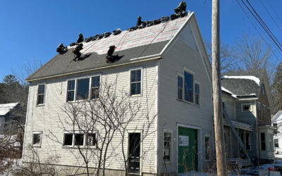
Building renovations have begun!
We are excited to share that construction has begun on our new center for watershed protection in...

LakeSmart needs volunteers for Echo Lake, Lovejoy Pond, and Pocasset Lake
We are now gearing up to support another year of LakeSmart in the 30 Mile River watershed. 30 Mile...